

Killie 2 Coast Walk - Route Details and Checkpoints
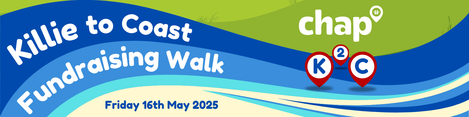
Following the recent announcement of our upcoming Killie 2 Coast fundraising walk on Friday 16th May, we’re excited to share more details about the big day! This scenic, 18-mile long-distance trek starts from our outreach hub at CentreStage in Kilmarnock and finishes at our main office on Princes Street in Ardrossan.
Below, you’ll find the planned route, key checkpoints with coordinates, and approximate distances and timings to help you prepare.
If you're planning to join us, please remember to wear suitable clothing and sturdy footwear, as we’ll be covering a fair distance over varied terrain. Hopefully, the sun will be shining on the 16th - if it does, please remember to wear sun cream, and a hat for protection throughout the day.
Whether you're keen to take on the full challenge or join us for a particular section of the walk, there’s still time to register and get involved. We’d love for you to be part of this meaningful journey as we raise vital funds to support people across Ayrshire with housing, money advice, and welfare rights.
Sign up to participate (before 14th May) here.
If you're able to make a donation for our charity, please do so here.
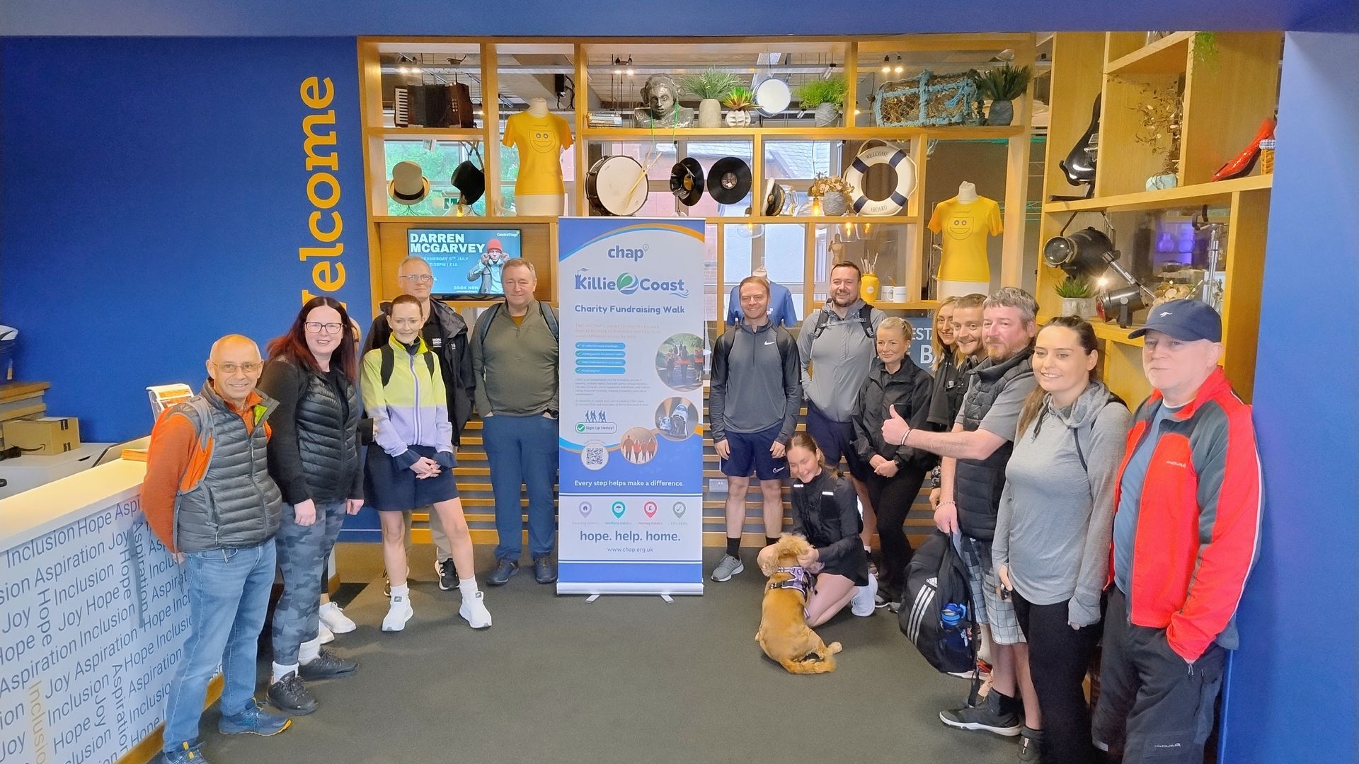
Many thanks to everyone who has signed up and/or donated so far - your support is very much appreciated!
Killie 2 Coast Route
The full K2C walking route is available to view here.
Please remember to zoom in to see the route in more detail.
Checkpoints
There will be 4 checkpoints along the route where people are welcome to join us for a few miles. Registered participants joining us at each checkpoint are required to report to a marshal or member of staff (wearing a blue high-vis vest) on arrival. All participants will then be issued with an orange high-vis vest and a bottle of water. Basic first aid will be available at each checkpoint if required.
For location accuracy, we are using 'What 3 Words'. You can find out more here.
-------------------------------------------------------
Section 1 - Kilmarnock to Knockentiber
Google Maps
Distance: 2.5 miles
Time: 1hr (approx.)
Starting Point
CentreStage Entrance, Kilmarnock
Google Map Coordinates - 55.608332, -4.493318
What 3 Words - ///billiard.race.suits
Checkpoint 1
Kilmaurs Road (Barry Devlin Services car park)
Google Map Coordinates - 55.625118, -4.542270
What 3 Words - ///goals.stack.scenes
To watch a video slideshow of this section please view on YouTube.
-------------------------------------------------------
Section 2 - Knockentiber to Dreghorn
Google Maps
Distance: 4 miles
Time: 1hr 15mins (approx.)
Joining Point
Kilmaurs Road (Barry Devlin Services car park)
Google Map Coordinates - 55.625118, -4.542270
What 3 Words - ///goals.stack.scenes
Checkpoint 2
Dreghorn, Station Brae (car park next to the Annick Water bridge)
Google Map Coordinates - 55.611158, -4.620263
What 3 Words - ///meatballs.punctured.desktop
To watch a video slideshow of this section please view on YouTube.
-------------------------------------------------------
Section 3 - Dreghorn to Irvine
Google Maps
Distance: 3.5 miles
Time: 1hr (approx.)
Joining Point
Dreghorn, Station Brae (car park next to the Annick Water bridge)
Google Map Coordinates - 55.611158, -4.620263
What 3 Words - ///meatballs.punctured.desktop
Checkpoint 3
Irvine, Low Green (West Road Centre car park)
Google Map Coordinates - 55.617022, -4.672991
What 3 Words - ///marble.ties.famous
To watch a video slideshow of this section please view on YouTube.
-------------------------------------------------------
Section 4 - Irvine to Stevenston
Google Maps
Distance: 5.5 miles
Time: 2hrs (approx.)
Joining Point
Irvine, Low Green (West Road Centre car park)
Google Map Coordinates - 55.617022, -4.672991
What 3 Words - ///marble.ties.famous
Checkpoint 4
Ardeer Quarry Nature Reserve, Stevenston (car park at the end of Moorpark Road East)
Google Map Coordinates - 55.636594, -4.749428
What 3 Words - ///corrects.lease.enlighten
To watch a video slideshow of this section please view on YouTube.
-------------------------------------------------------
Section 5 - Stevenston to Ardrossan
Google Maps
Distance: 3.5 miles
Time: 1hr 15mins (approx.)
Joining Point
Ardeer Quarry Nature Reserve, Stevenston (car park at the end of Moorpark Road East)
Google Map Coordinates - 55.636594, -4.749428
What 3 Words - ///corrects.lease.enlighten
Finish Point
CHAP Office, The Michael Lynch Centre for Enterprise, Princes Street, Ardrossan KA22 8DG
Google Map Coordinates - 55.63970646085093, -4.813280512644558
What 3 Words - ///crowds.pump.tides
To watch a video slideshow of this section please view on YouTube.
-------------------------------------------------------
To keep up to date with the latest Killie 2 Coast news and plans, please follow us on Facebook.


Share this story, choose your platform